Above It All: Stories Behind My Favorite Drone Photos of 2024
From Passing the FAA Part 107 to Capturing Stunning Aerial Views Across Oregon
A year ago this week, I started studying in earnest for the FAA Part 107, which, once achieved, would allow me to fly a drone for commercial purposes. I did this for two reasons: first, I wanted to be able to take photos for my real estate photography business. I’d been using my pal Tony Marino of Northwest Aerial, and he did a stellar job, but I could see he was having fun, and every time I hired him, I left money on the table. Why hire someone else when I could do it myself?
The second reason was that I knew it would afford me more opportunities for photography, which I love. I’ve been taking photos since I was a teenager, but I’ve never had the chance to shoot pictures from the air.
There’s a third reason, too, I suppose: it’s damn fun!
I studied for the test, and on May 1st, I passed. I am now a licensed drone pilot. I immediately put the drone I’d purchased a few weeks earlier to work. I shot real estate, I shot scenery, I shot construction projects in progress. Wherever I could fly for a good reason, I’d do it. Over the past eight months, I’ve accumulated hundreds of stills and videos from the air, and naturally, I have several favorites I will share with you.
Indian Camp on the Warm Springs Indian Reservation
In May, I camped out with some radio pals, as we do every year (it was our 50th annual gathering!). I got up early a couple of mornings to try and catch the campground as the sun came over the hill. I love the long shadows on this image. That’s me in the center-right with the long shadow, next to the red round drone landing pad.
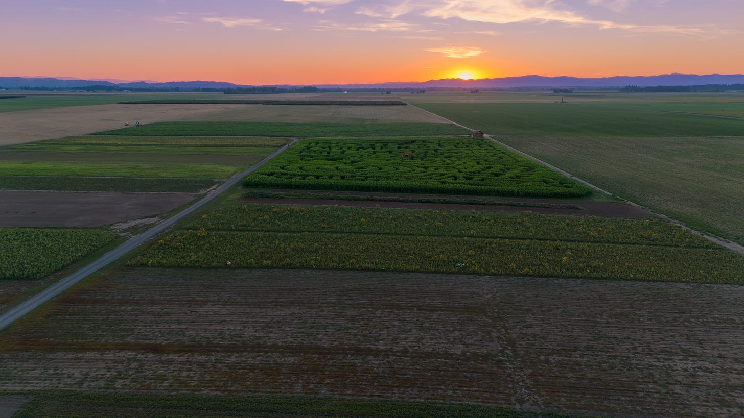
French Prairie Gardens, north of Salem
I’d been out taking photos 20 or 30 miles north of Salem one day in June and happened upon French Prairie Gardens. I stopped in and took several shots as I walked around the mostly deserted store and gardens (it was late in the day). Then, as I left, I asked if the owner was there. He wasn’t, but I left my business card on a whim, asked if they’d pass it on, and offered to come back someday and take some drone shots for fun. He got back to me in August, and late one afternoon, I spent about an hour on the grounds with him, his kids, and his wife, taking videos and stills.
East of Salem
One of the first places I flew my drone was east of Salem. I found a spot to pull off the road and send the drone up, just flying around, getting used to the controls, how it all worked, and took this shot of the trees in springtime flower-mode looking straight down.
Detroit Lake
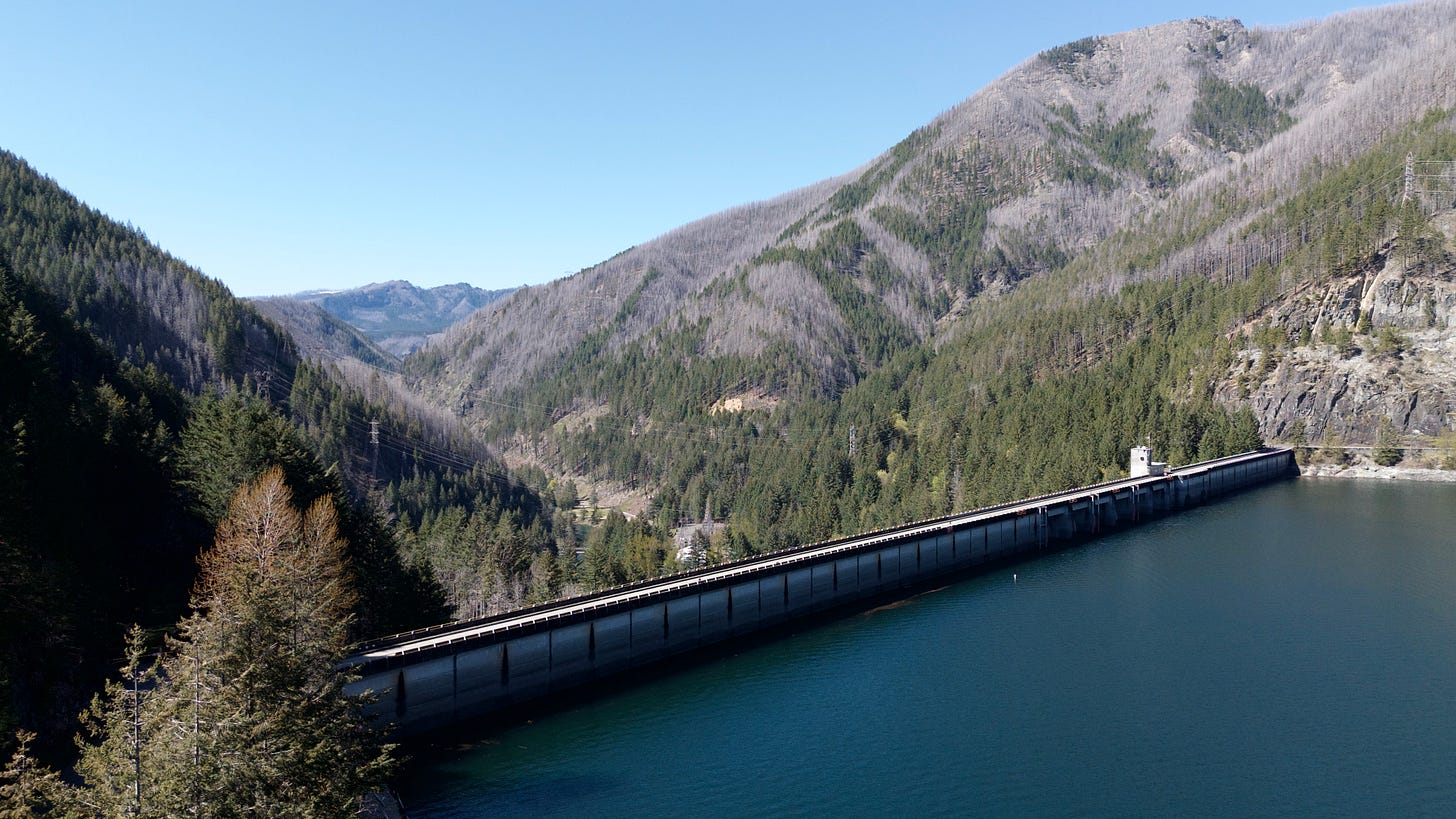
Looking for a more expansive canvas to aim the drone camera, I drove the 45 miles up to Detroit Lake, crossed the dam to the south side, and sent the drone up. I’ll share two photos taken from about the same spot: one looking east toward the lake, the other looking west at the dam.
Riverfront Park, Salem
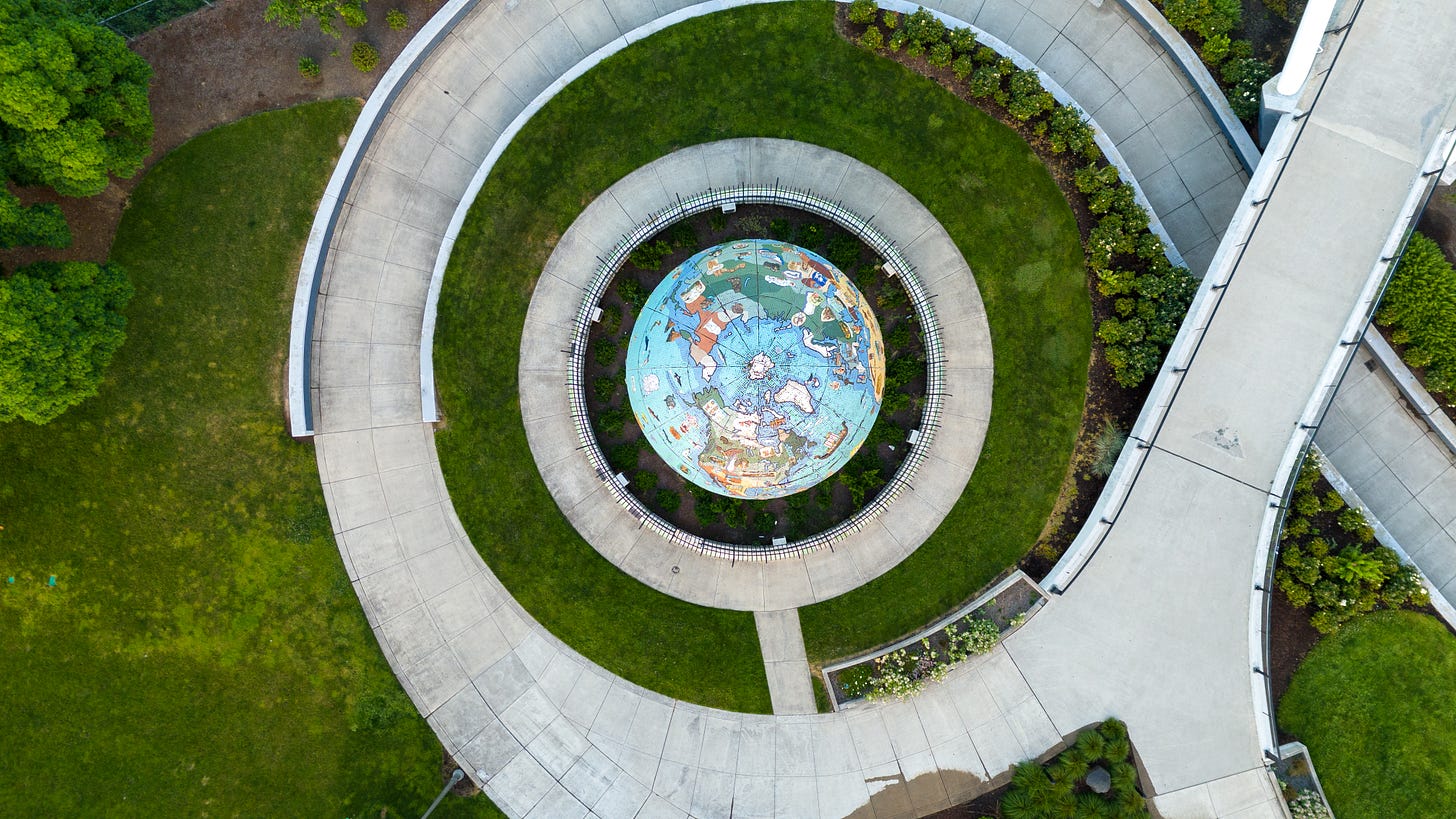
Up to now, the places where I put the drone up are in “G” space, which is unregulated by the FAA. However, because there’s an airport in Salem, there are some limitations on where you may legally fly a drone. In Riverfront Park, for instance, FAA rules say that drones can legally fly up to 50 feet without authorization, but if you want to fly higher, you need authorization. My plan, if approved, was to fly at 6 a.m. for an hour. I made the request about ten days in advance, which I did because this was my first request for such authorization, and I knew that it might take some time. It took three days, so on the appointed day, I could put my drone up to 400 feet, move around the park, and shoot photos and videos. The first one looks from the park towards the south of downtown (look closely for the capitol building in the upper left); the second is a top-down view of the Eco-Earth.
City of Detroit
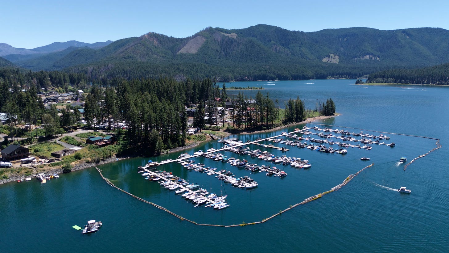
I took the drone back to Detroit Lake on the 4th of July and found a place to lift off across the lake from the city. I spent half an hour shooting photos of the docks, boats, and scenery, but the one I liked the best was an image of the city. It shows the best of summer: a full dock, a full lake (it’s about 70 feet lower now - the Army Corps of Engineers released water to generate electricity and prepare the lake for winter and spring rains), and people out and having summer fun.
Santiam Pass and Hoodoo Ski Bowl
If you haven’t caught my earlier post on the photo journey at Santiam Lodge, where I grew up, I’d invite you to do so here. On that August trip, I took dozens of images of Santiam Lodge and captured a view from the lodge looking north at Three Fingered Jack. For a few reasons, it’s a fun shot of the terrain and means a lot to me. This area north of Santiam Lodge was my backyard growing up, but I’ve also hiked throughout the area many times, and this is a brand new view.
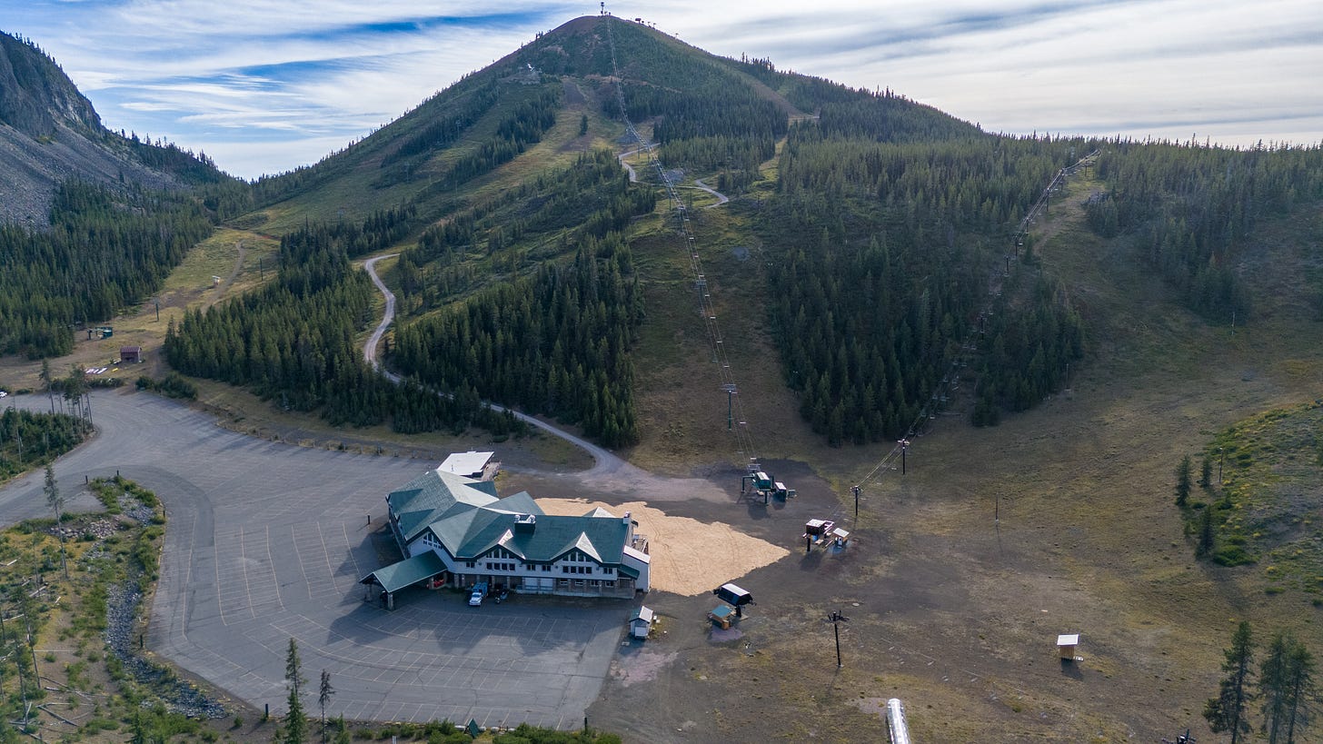
The following month, I was at Santiam Lodge with my brother, mother, and my mother-in-law, and we zipped over to Hoodoo Ski Bowl, where I learned to ski as a youngster. I put the flying camera up and snapped several images, including this one:
Niagara Park
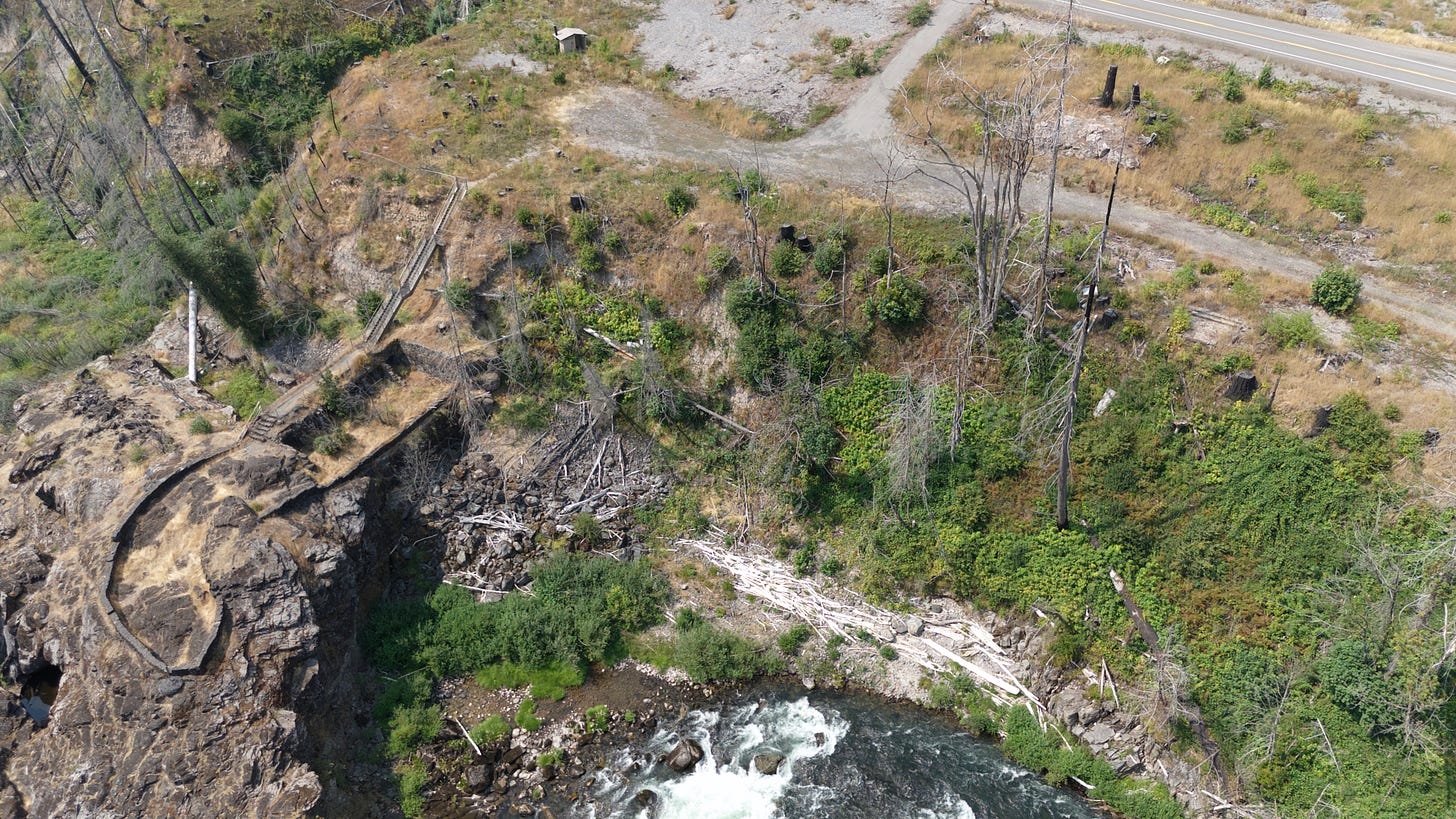
No, not that Niagara Park! This would be Oregon’s Niagara Park, east of Salem by about 40 miles and was once the site of a failed masonry hydroelectric dam project in the early 20th century. The dam was intended to power a straw-to-paper mill, but construction difficulties and flooding issues led to its abandonment in 1912. Today, remnants of the dam remain on the park’s western end. Years ago, I would wander through the lush park, and I took my kids there many times to poke around.
Unfortunately, the Labor Day Fires of 2020 whipped through the area, burning the trees and bushes to a crisp, and closing the park to foot traffic. Over 400,000 acres in the Beachie Creek and Lionshead Fires burned, sweeping through Detroit, Gates, Mill City, and more. Niagara Park has been closed since, and because it’s on the way from Salem to Hoodoo Ski Bowl, I drive by it dozens of times a year and have always wanted to put a drone over the park to see what it looks like now. I finally got to do it this year.
The upper right shows Highway 22 and the now-closed entrance road. The upper-middle-left shows the outhouse. The middle-left shows the stairs down to the area where we’d look down at the North Santiam River. It’ll take a couple of decades, I’d wager, for the area to look half as lush as it did five years ago.
Wrapping it Up
As you can see, I’ve chosen photos not just because they’re artistic images, but at least a few are. They are all part of my process of gaining flying experience and capturing images of places that have meant a lot to me over the years.







Beautiful drone photography and the accompanying stories are enchanting too. Indian Camp on the Warm Springs Indian Reservation and top down view of Eco Earth are my favorites. Very nice. 🤩